It’s been awhile since I blogged, so here goes. About 2 weeks after my last literary masterpiece, I decided to go for a hike around Ob Hill with 2 friends, Mike and Mary Jane.

The wind was blowing hard enough to cut through our Big Reds, but you have to make your own fun down here. On the way through town to the start off point, I got a close up of a vehicle called a Piston Bully (I don’t know why).

This one’s name is Gretel. They support science, as most things down here do, and this one is parked in front of the Crary Science Lab. Here we are on the road to the Ice Runway main road heading towards Ob Hill.

This building is I believe the old Desalination Plant, with the smaller Aquarium next to it. We still rely on desalinated sea water for our water source. The piping visible in front of those buildings is the fuel line to the Ice Runway.

I had intended to take more photos as the hike progressed, but the wind was so cold and brutal that first my hand froze, needing to take it out of the glove repeatedly to take a decent picture. I gave up on that idea quickly, and the rest of the hike became merely sticking it out through an hour of windy and yet still sunny weather. I wear contacts during the work week, and always switch to glasses on my Sunday off. I have Flexon frames, which I was sad to note were not entirely Antarctica rated. They fogged up and froze in the wind as I breathed through my mouth climbing and leaning into the wind wearing my balaclava and wool cap with the Antarctica rated goggles supplied at the CDC, and then they deformed in the intense cold to the point I couldn’t see out of them anymore, so off they came for the duration, meaning I could see about 5 to 10 feet in front of me safely. Here we are in my neighbor Mike’s room after the hike. This water bottle was inside my goose down Big Red parka, and the water froze halfway through the bottle and took the shape of the cap on the right. My body froze completely and took the shape of my Big Red parka.

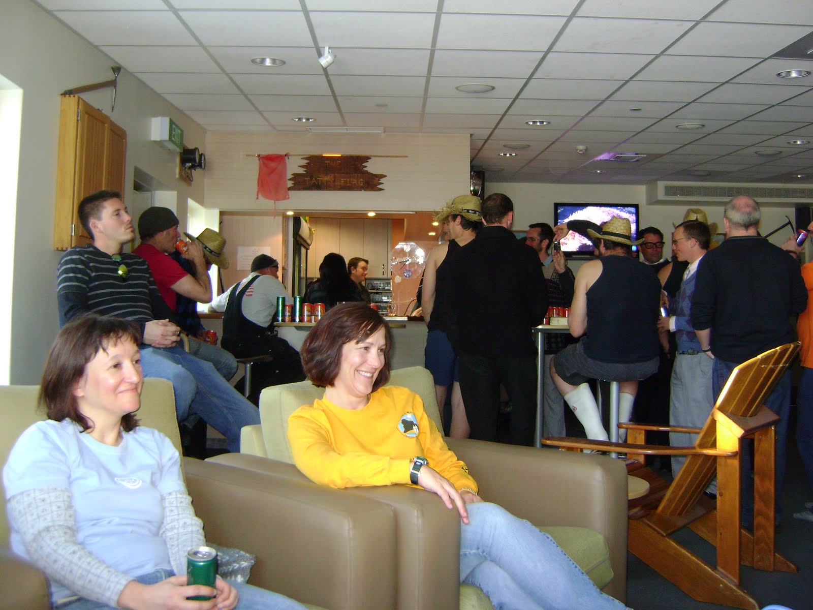
Mike and Mary Jane about to play dominoes with me.

The next week the Foodservice crew got to tour the warehouses that serve the kitchen. This is the frozen food warehouse.

The not so frozen warehouse.

The not quite as frozen as the middle warehouse warehouse.

The largest snow plow I have ever seen.

Another view of Ivan the Terrabus, which cost nearly $400,000 new in 1993.

There are six in the world, the other 5 working in wimpier extreme Northern Canada. Note the size of the tires and compare them later to a delta vehicle in this blog with the same tires to give you a better scope of the bus.

A decal from civilization. Our main front loader which brings over pallets of supplies on Thursday and Friday. This one’s name is Heckle. Jeckle is currently busy elsewhere.

I have driven the lunchbox around town for my Antarctic drivers test. Max speed in town is 10 mph. All vehicles are maintained based upon hours driven, not mileage.

Another cozy Sunday. Condition 1/2.

Our library on station, actually not too bad. I only saw a few copies of the epic 1962 Antarctic Meteorological Survey. Actually a decent selection of history, fiction and science fiction, and I think I even saw a german version of The Three Musketeers!


The Helicopter facility next to my dorm. These are A-212s, the sports car of the fleet.

The classic Huey, the truck of the fleet.

They just removed the guns from the doors for servicing after a gun run to Vostok, the Russian base. Approach the Helipad with caution, as the Claymore minefield and razor wire are very dangerous. This is Gallagher’s Pub, named after a guy with long stringy white hair and the defacto long stringy white beard that thought it would be great to have a bar here, and then died before it could be named, or something like that.


Let’s try that hike again. Beautiful day and NO WIND. The Trans Antarctic Mountains head to the tip of Antarctica nearest Chile, and actually are a part of the chain of mountains that go north from that southern most tip of South America and head north through that continent.


So much of this landscape reminds me of the look of the Sonoran desert outside Phoenix. The geology is very similar, the rocks are grayer here than the browner Arizona version, but the mountain formation and the look of the valleys reminds me of driving along Highway 74 towards Wickenburg, just not including any trees or cactus. Ob Hill from this angle looks a bit like Squaw Peak to me.


The “Golf ball” above McMurdo Station, also known as the T site. They track satellites with a large radome inside, and it’s scheduled to be torn down and upgraded soon.

The trailhead for the Castle Rock loop trail.

The sun was out, and guess what so was the wind, so we only made it to the first apple, or survival igloo for a rest.


Deciding to return the approx. 1 mile to town, we stopped off for a photo op.


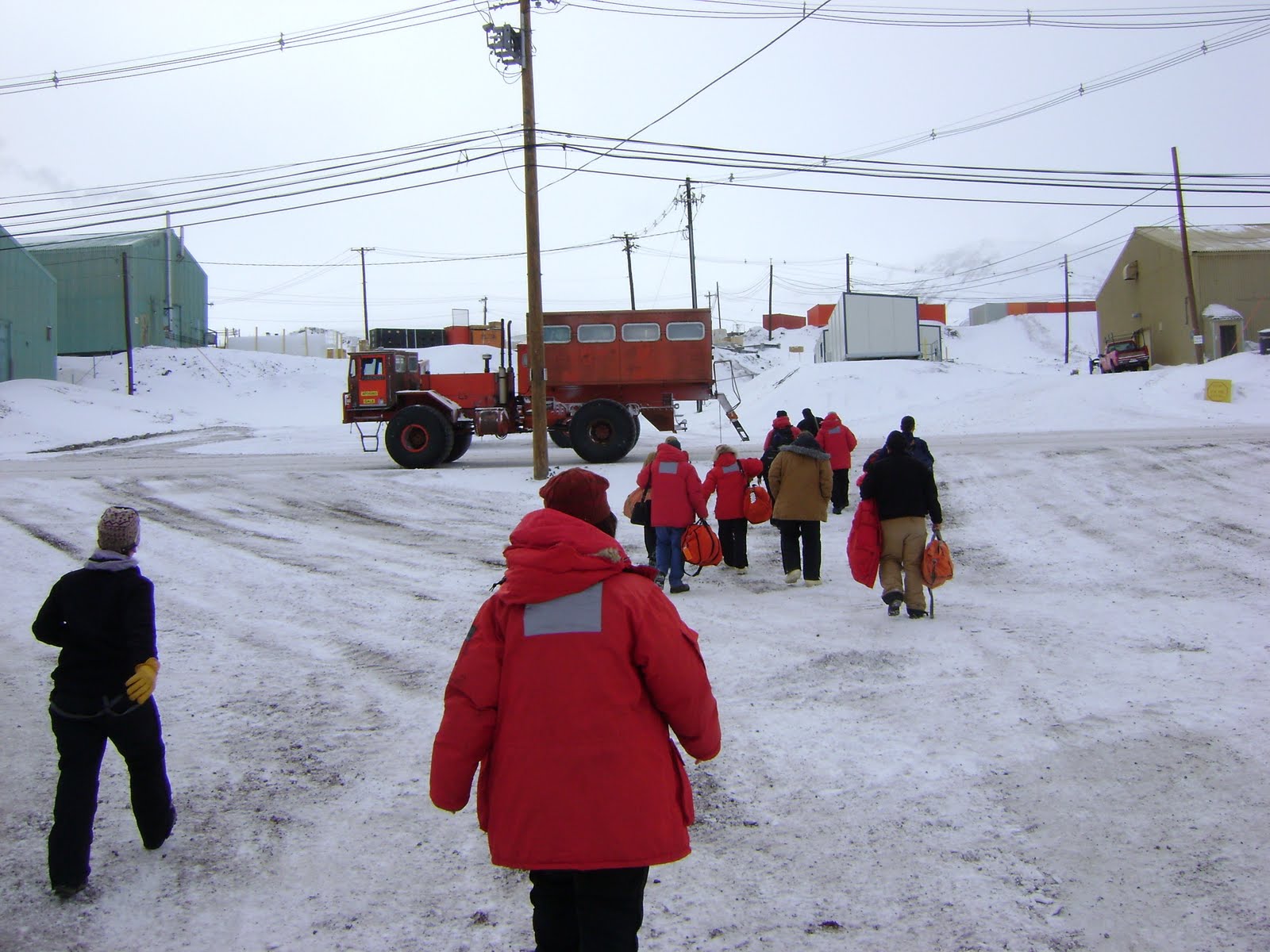
Lissa arriving on her very own personal C-17.

The march of the red penguins.

We both got to join a group going to Cape Evans last minute on her first full day here. We will be travelling on deltas, which are basically any very large tracked or huge tired vehicle. Here she is next to a delta named Dawn.

On the way, we stopped to pick up our survival gear, which was tied to the back end and dragged via sled to our destination, just like Scott did with his crew 100 years ago, except he’d never heard of a delta.

On the way we spied our first gaggle of walruses.

Some sort of drilling or coring platform.

Lissa next to a large tire.

This is another hut built by Scott and crew, and I think it’s the actual one used by them to go to the pole from. The earlier hut next to McMurdo I’ve been told was never really used much. The inside has been repaired and restored by a New Zealand museum crew some time back, and it does not reflect how they actually lived in it, but it’s treated more like a museum that you can walk through and see what they used and how they survived the cruel winters here.


Iceberg dead ahead. On the way back to station, we stopped at a berg currently frozen in the ice. Small enough to walk around in about 15 minutes, I was told by our delta driver that the open water is about 5 miles from here now, and approaching faster than expected this year.


They will be driving out to this site for another 2 to 3 weeks, and then that’s basically it. Summer is coming. More as things go on and change around here.